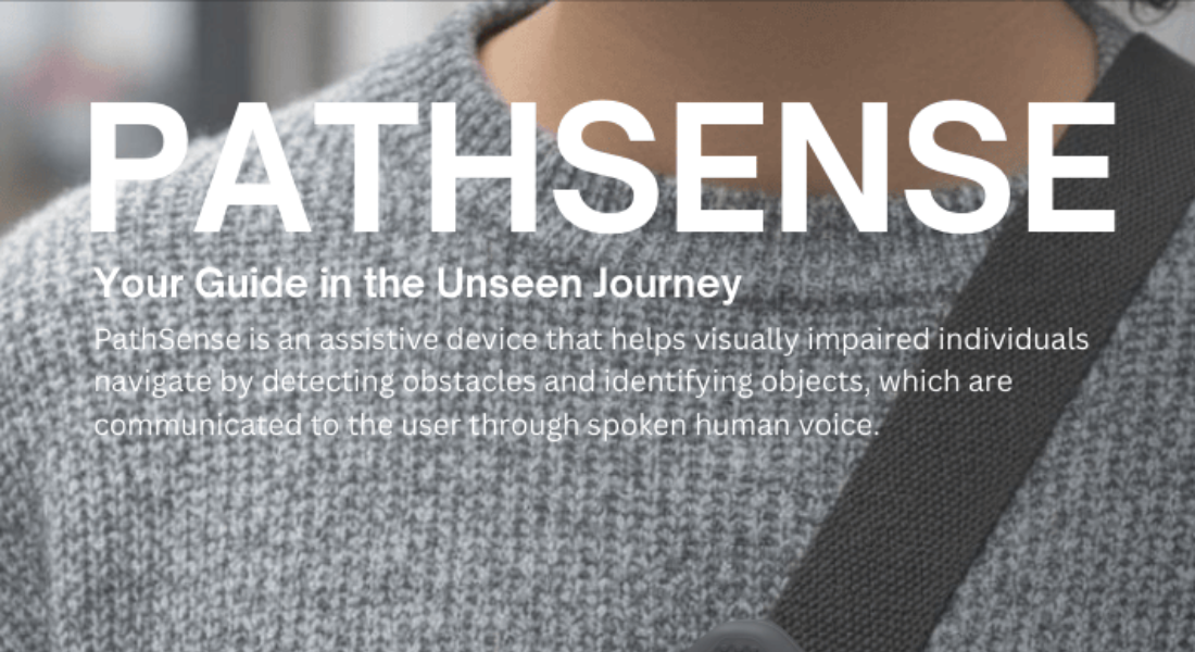
PathSense
This study addresses a critical gap in computer vision: while most monocular depth estimation models (like Depth Anything) focus on long-range accuracy (up to 80m) for autonomous vehicles, pedestrian navigation requires high precision in the immediate 0–3 meter range using low-power hardware like a Raspberry Pi 4.
The researchers developed a custom dataset and a U-Net-based architecture optimized for close-range obstacle detection with minimal computational overhead.
The Challenge: Close-Range Precision
Standard models treat all distances with equal importance. However, for a person navigating a sidewalk or a room, an error of 20cm at a distance of 1 meter is far more dangerous than the same error at 50 meters.
Key Problems:
Custom Dataset & Preprocessing
The team collected 21,777 image-depth pairs using an OAK-D Pro W stereo camera.
The Rolling Average Filter:
Because stereo cameras often produce "holes" (invalid pixels) where disparity cannot be calculated, the team implemented a Rolling Average Filter.
Optimized Model Architecture
The model uses a U-Net-style encoder-decoder design. It takes a 240×320 RGB image and predicts a metric depth map.
The Secret Sauce: Exponential Loss
The breakthrough in this model is the Close-Range Optimized Loss Function. It uses an exponential decay constant ($\tau = 0.5m$) to penalize errors.
$$L_{close} = \text{mean}(w_{dist} \odot |p_{close} - t_{close}|)$$
$$w_{dist} = \exp(-t_{close}/\tau)$$
The Result of this Math:
Performance Results
The model achieves high reliability in the critical "danger zone" for pedestrians:
Metric
Result (0–3m Range)
Mean Absolute Error (MAE)
0.32 meters
Median Error
0.1725 meters
Hardware Target
Raspberry Pi 4
Inference Speed
Real-time capable
Qualitative Success: The model produces depth maps that clearly delineate obstacles like walls, stairs, and people, providing enough spatial awareness for an assistive navigation system to trigger haptic or audio alerts.
YEAR 3 PathSense Poster
https://drive.google.com/drive/folders/1PtnxBrBYGJQgA9PnYTTpmpxySxlr8YqL?usp=drive_link


.png)
.png)
.png)
.png)


